Project

Center for Historical and Cultural Heritage of Atyrau Region

Website with a QR code system for monuments and an interactive map of heritage sites

Центр исследования историко-культурного наследия Атырауской области Completed
Center for Historical and Cultural Heritage of Atyrau Region
Task

Client brief

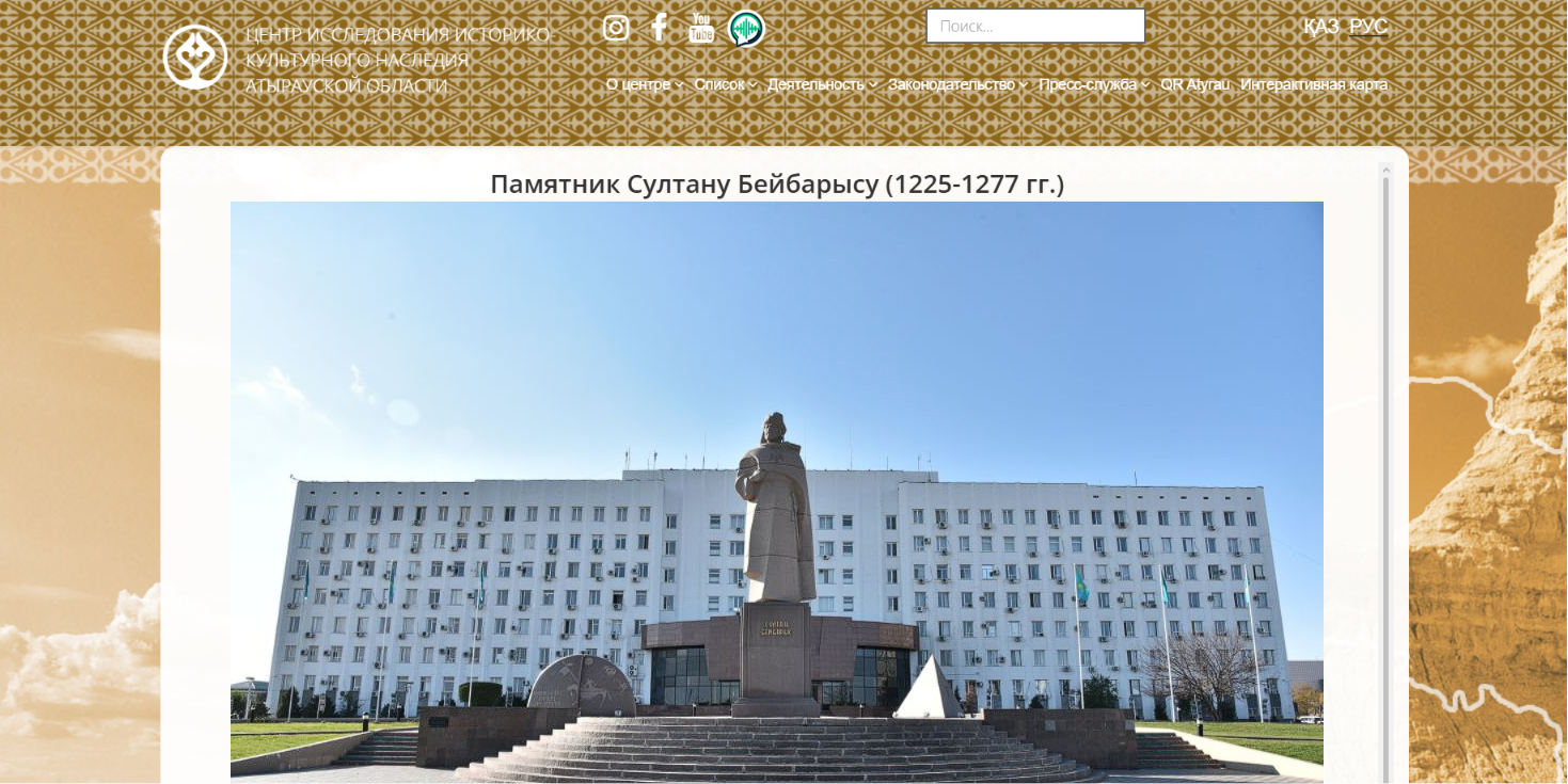
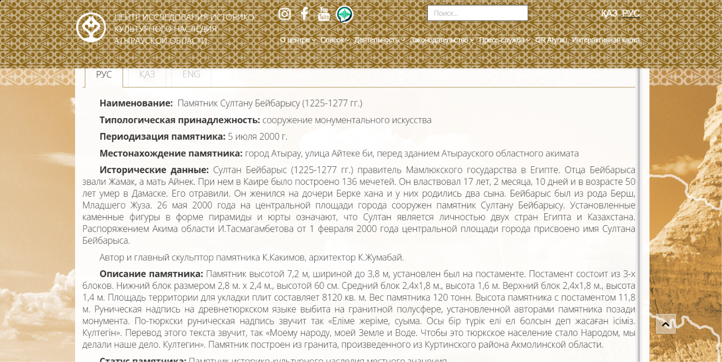
The Center is a state institution responsible for identifying, studying, restoring, and preserving historical and cultural monuments of Atyrau Region. Its sites are scattered throughout the region: monuments of national and local significance, memorial plaques, protected zones — dozens of locations. We faced an unconventional challenge: not simply to build a website, but to turn it into a living tool for connecting people with the physical heritage of the region. The solution was a QR code system and an interactive map. The package included: a bilingual website with a complete government institution structure (center history, goals and objectives, documents, organizational structure, director's blog, press section, heritage registries, work areas), QR pages for each physical monument, and an interactive map of sites on a separate subdomain.
Outcome

What we shipped

Launched a bilingual government institution portal with heritage object registries; implemented a QR code system linking physical monuments to digital content; created an interactive map of all heritage sites in Atyrau Region.
Solution

How we did it

This project immediately caught our attention with its unconventional approach. Most government websites are portals built purely for reporting. Here, the client thought differently: how do we bring heritage closer to people? How do we shorten the distance between a stone slab on the street and the knowledge of what that slab means? QR navigation seemed like a straightforward idea, but required serious development work. Each site received a unique page with its own URL, for which a QR code was generated. The codes were placed on physical monuments. It was crucial to ensure that pages loaded quickly on mobile devices, worked reliably under poor connectivity, and contained well-structured, genuinely useful information. We tested the entire journey — from scanning to the page — multiple times on different smartphones and in various connectivity conditions. The interactive map became a separate mini-project within the larger one. Plotting all sites, configuring filters by type and status, ensuring smooth mobile performance — each required its own rounds of iteration. The result is a product used both by center staff in their field work and by everyday residents discovering the history of their region.

Ready to launch your project?

Contact us and we'll propose the best solution for your needs.